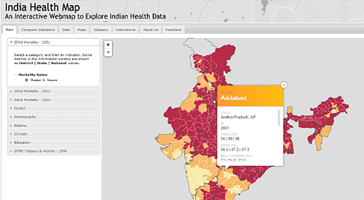
One of the core principles of health is that place matters. In this context, maps serve as valuable reporting tools, providing a visual representation of public health disparities. Disease maps are important tools in the management of diseases, as they allow to capture and understanding of the true underlying risk of the disease, constituting the first step in almost every public health study. Understanding the connection between epidemiology and medical geography enables the development of public policies and practices to bring equal access to care and resources.
Our group is developing methods and tools to generate spatially continuous maps of disease risk from spatially discrete data. This involves analyzing combined counts of reported cases and finer-scale explanatory variables. The creation of high-resolution maps based on objective spatial units is crucial for accurately detecting associations between disease risk and environmental as well as individual factors.
We are employing these methods to scrutinize the temporal trends in Malaria incidence in Sierra Leone, while also delving into the mortality rates of lung cancer in the USA.